Leica GM30
Leica GM30 GNSS All-in-One Monitoring Receiver.

Showing all 14 results
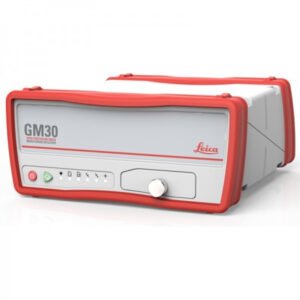
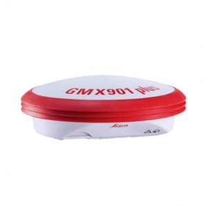
Leica GMX910. Accessible smart antenna for deformation monitoring. GNSS receiver with integrated antenna for monitoring purposes.
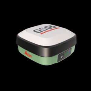
Lightweight and compact smart antenna with tilt compensation. The Leica GS05 GNSS allows you to measure effortlessly throughout the day.
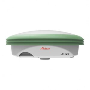
A lightweight antenna, even more compact. The smart antenna designed for you.
The Leica GS07 is a high-precision GNSS receiver for topographic and geodetic measurements in difficult terrain. With advanced satellite tracking technology, Bluetooth connectivity, and an intuitive user interface, the GS07 provides accurate and reliable measurements in challenging environments.
The GS07 is water and dust resistant, making it a robust and durable tool for field work. It is an ideal tool for professionals seeking precision and efficiency in their surveying work.
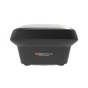
A GNSS smart antenna that grows with your business. Versatile premium-quality RTK surveying equipment.
The Leica GS18 is a high-precision GNSS (Global Navigation Satellite System) receiver designed for topographic field measurements. With its advanced satellite tracking technology, the GS18 provides accurate and reliable measurements even in challenging conditions.
Its ergonomic and lightweight design makes it easy to transport and handle during long workdays in the field. Additionally, its compatibility with the Leica Captivate software platform facilitates integration with other surveying instruments and data transfer for subsequent processing.
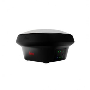
Imagine the power of GNSS positioning with imaging. A versatile survey-grade GNSS RTK rover with visual positioning.
The Leica GS18 I is a GNSS (Global Navigation Satellite System) receiver with built-in imaging from Leica Geosystems. It is a high-precision, high-performance surveying instrument providing rapid and accurate measurement of location, altitude, and orientation.
The integrated imaging allows users to take photographs of measurement points and associate them with GNSS data, improving the efficiency and accuracy of topographic surveys. Additionally, its robust and durable design makes it ideal for working in demanding outdoor conditions.
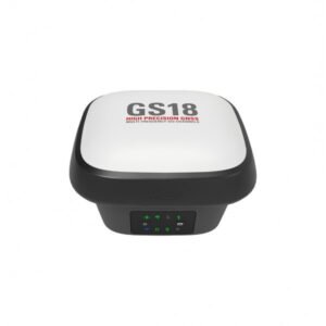
The original GNSS RTK rover with tilt compensation.
The GS18 T is a fast and easy-to-use GNSS RTK rover. The original GNSS solution with tilt compensation, immune to magnetic disturbances and requiring no calibration. Precise measurements on any terrain, even in complex urban environments. With its innovative technology, you will save time and improve your results.
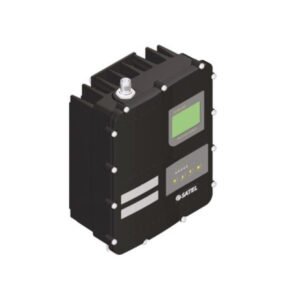
The Leica HPR4 is a new IP67-rated UHF radio modem that allows you to increase the RTK-UHF capabilities of your GNSS sensor.
The Leica HPR4 offers the best of the HPR2 and HPR3 capabilities. It supports wide modulation compatibility, channel spacing options, selectable power, and extensive country support.
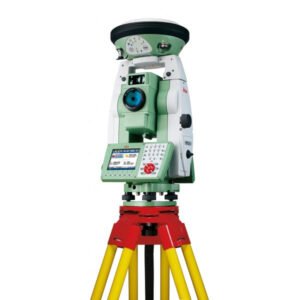
The Leica SmartStation is an all-in-one total station system that combines GNSS technology with the precision of a robotic total station. It offers a complete solution for surveying, engineering, and construction, allowing for precise and efficient measurements even in difficult conditions.
With its compact and portable design, it is easy to transport and set up in the field. Additionally, its intuitive software and connectivity options make it easy to use for any measurement and modelling task.
Easily determine the total station’s position with GPS.
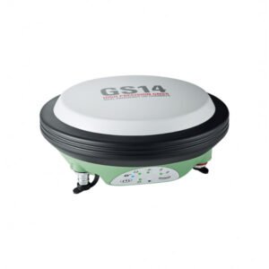
Compact and powerful Leica Viva GS14 GNSS smart antenna for tilt measurement. Professional reliability for the best possible accuracy.
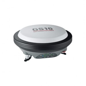
Lightweight GNSS Smart Antenna for precise positioning. The Leica GS16 is a high-precision GNSS receiver designed for topographic and geodetic measurements. It features advanced satellite tracking technology and exceptional performance in challenging conditions, allowing for accurate and reliable measurements in difficult terrain and urban environments.
The GS16 is compatible with Leica Captivate software for easy integration with other surveying instruments and data transfer for subsequent processing. With its robust design and ability to connect with various devices, the GS16 is the ideal tool for professionals requiring precision and efficiency in their surveying and geodesy work.
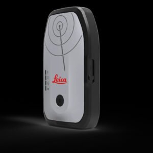
The new Leica Zeno FLX100 Plus Tilt smart GNSS antenna, now enhanced with tilt compensation capability. Combined with the Zeno Mobile One application, the FLX100 plus is designed to enhance GIS mapping tasks.
It is a portable and compact device that is ideal for field work in difficult or remote terrain.
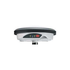
Leica Zeno GG04 plus Smart Antenna.
The smartest antenna for high precision everywhere.
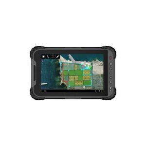
Leica Zeno Tab 2. Rugged tablet with an 8″ screen, compatible with Leica GG04.
Capture precise data with ease using a high-sensitivity 8″ touchscreen that provides superior performance even in the rain.