-
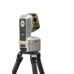
3D measurement and layout tool for professional applications.
The Leica iCON iCS20 is perfect for those looking to transition from traditional manual measurement methods to digital workflows. Its visual measurement technology provides an accurate representation of the current situation, avoiding omissions in the work process. Furthermore, the automated workflows and the Leica iCON trades software, specifically designed for the industry, significantly simplify the complexity of measurements.
-
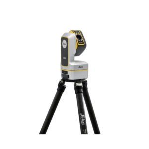
Robotic Leica iCON iCS50: The next-generation construction tool.
The perfect solution for both simple and complex 3D design and measurement tasks within the construction sector. This advanced construction tool is easy to operate, enabling rapid efficiency from its very first use.
By combining the Leica iCON iCS50 with intelligent accessories such as the Leica vPole and Leica vPen, the time required for design and measurement tasks is significantly reduced, while also minimising the risk of errors.
-
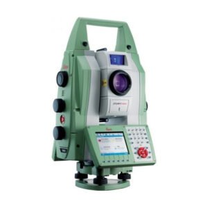
The most accurate and reliable monitoring total station with image management. The Leica TM50 total station is a high-tech tool used in surveying and construction. With its ability to perform precise and fast measurements, the TM50 is ideal for applications requiring a high level of accuracy and efficiency.
This total station offers a wide variety of advanced features, including a reflectorless measurement system, automatic tracking technology, wireless connectivity, and a high-resolution touchscreen. Furthermore, its robust and water-resistant design ensures it can be used in a wide range of environmental and terrain conditions.
With the TM50, users can perform angle and distance measurements with an accuracy of up to 0.5 arc seconds and 1 mm, making it one of the most precise total stations on the market. It also features the ability to perform height, coordinate, and orientation measurements, making it an essential tool for surveying, construction, and other related applications.
-
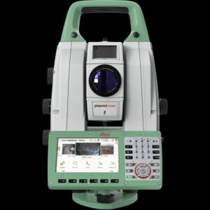
The first self-learning monitoring total station. The Leica TM60 total station is a next-generation surveying instrument designed to offer unprecedented precision and efficiency in the field of surveying and cartography. This tool is the perfect choice for professionals seeking the highest quality in measurements and map creation.
The Leica TM60 features an advanced reflectorless measurement system, allowing high-precision measurements at extremely long distances. Furthermore, its automatic pointing technology ensures accurate measurements even in low-visibility conditions.
Moreover, it boasts a wide range of functions and features that make its use extremely easy and efficient. Its high-resolution colour touchscreen allows for a clear and detailed visualisation of data and measurement results.
-
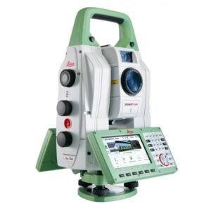
The world’s most accurate total station. The Leica TS60 total station is a cutting-edge instrument used in surveying and cartography that offers unsurpassed precision and efficiency in measuring distances, angles, and elevations.
A robust and resilient piece of equipment, designed to withstand the most demanding field conditions. With its wireless connectivity, it allows for quick and easy data transfer to other devices and surveying or mapping software.
-
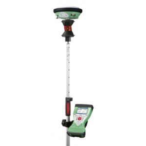
The Leica Viva SmartPole is an innovative, high-precision solution for surveying data collection in the field. This system combines a telescopic pole with a GNSS (Global Navigation Satellite System) antenna and a high-speed radio modem to transmit data in real-time.
With the SmartPole, surveying professionals can capture precise data quickly and efficiently, resulting in increased productivity and project quality.
Work with total ease. Complete freedom to switch easily from GNSS to TPS.
-
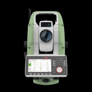
The Leica TS20 is the new robotic total station from Leica Geosystems that marks a turning point in everyday surveying. With AI-powered automation, IP66 protection, cloud connectivity, and Leica Captivate software, it offers precision, speed, and reliability in any environment.
-
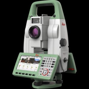
The Leica TS16 total station is a high-precision tool used in surveying, engineering, and construction to measure angles and distances with extreme accuracy. Featuring advanced automatic tracking technology, this total station allows the user to measure points and targets in real-time, increasing efficiency in the field.
With a high-definition touchscreen and intuitive software, the Leica TS16 offers an easy and enjoyable user experience. Furthermore, its ergonomic and lightweight design makes it easy to transport and use during long working days.
Additionally, it features a wide variety of functions such as horizontal and vertical angle measurement, distance measurement, remote target detection, and 3D point visualisation. These features make the TS16 an essential tool for those seeking maximum precision in their measurements.