
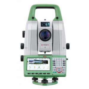
Leica MS60
The ultimate all-rounder, combining total station functionality with 3D laser scanning, GNSS connectivity, and digital imaging.
Intelligent MultiStation with scanner for precision tasks. The Leica MS60 offers measurement accuracy of up to 0.5 mm at distances of up to 200 metres, making it one of the most precise tools on the market. Furthermore, its high-speed laser scanning system allows for the capture of 3D point clouds with exceptional image quality, facilitating the creation of detailed and accurate models of any terrain or structure.
The Leica MS60 also features a wide variety of integrated software tools that simplify the workflow and allow complex tasks to be performed with great ease. These include point cloud registration tools, model fitting, quality control, and much more.