Showing 49–64 of 69 results
-
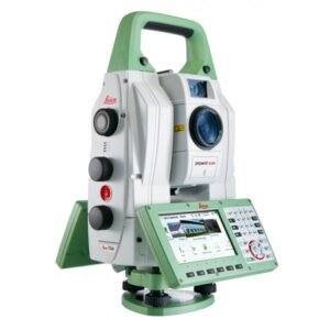
The world’s most accurate total station. The Leica TS60 total station is a cutting-edge instrument used in surveying and cartography that offers unsurpassed precision and efficiency in measuring distances, angles, and elevations.
A robust and resilient piece of equipment, designed to withstand the most demanding field conditions. With its wireless connectivity, it allows for quick and easy data transfer to other devices and surveying or mapping software.
-
€305.00
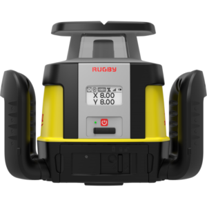
Leica Rugby CLA-ctive range. Covers all needs. Designed for maximum durability and resistance.
-
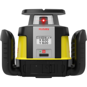
Leica Rugby CLH range. Simplicity that allows you to take full advantage of the laser level’s capabilities. One-button horizontal laser, easy to use. Maximum flexibility and the ability to quickly adapt to job requirements are essential for your projects. With Leica Rugby CLA-ctive, CLH and CLI, you can upgrade your lasers to match your application needs. Pay only for the functionality you really need to get the job done and avoid paying for additional features you will not use. With additional professional services such as repair and calibration, you can ensure outstanding laser performance for many years.
-
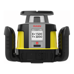
Leica Rugby CLI range. One-button horizontal laser.
-
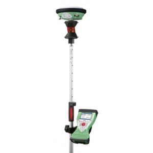
The Leica Viva SmartPole is an innovative, high-precision solution for surveying data collection in the field. This system combines a telescopic pole with a GNSS (Global Navigation Satellite System) antenna and a high-speed radio modem to transmit data in real-time.
With the SmartPole, surveying professionals can capture precise data quickly and efficiently, resulting in increased productivity and project quality.
Work with total ease. Complete freedom to switch easily from GNSS to TPS.
-
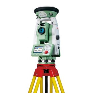
The Leica SmartStation is an all-in-one total station system that combines GNSS technology with the precision of a robotic total station. It offers a complete solution for surveying, engineering, and construction, allowing for precise and efficient measurements even in difficult conditions.
With its compact and portable design, it is easy to transport and set up in the field. Additionally, its intuitive software and connectivity options make it easy to use for any measurement and modelling task.
Easily determine the total station’s position with GPS.
-
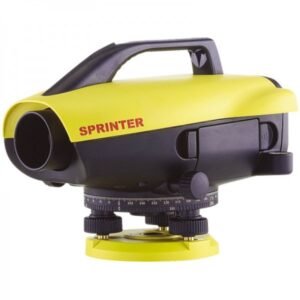
Leica Sprinter 250M : for advanced levelling work. Stores up to 1,000 measurements, allows for data download and transfer to your PC via USB to work in Microsoft Excel.
-
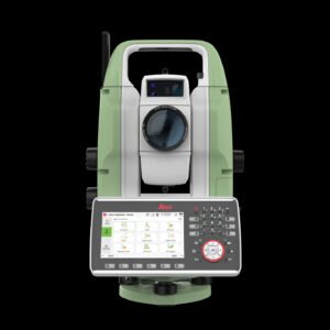
The Leica TS20 is the new robotic total station from Leica Geosystems that marks a turning point in everyday surveying. With AI-powered automation, IP66 protection, cloud connectivity, and Leica Captivate software, it offers precision, speed, and reliability in any environment.
-
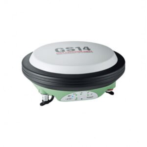
Compact and powerful Leica Viva GS14 GNSS smart antenna for tilt measurement. Professional reliability for the best possible accuracy.
-
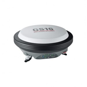
Lightweight GNSS Smart Antenna for precise positioning. The Leica GS16 is a high-precision GNSS receiver designed for topographic and geodetic measurements. It features advanced satellite tracking technology and exceptional performance in challenging conditions, allowing for accurate and reliable measurements in difficult terrain and urban environments.
The GS16 is compatible with Leica Captivate software for easy integration with other surveying instruments and data transfer for subsequent processing. With its robust design and ability to connect with various devices, the GS16 is the ideal tool for professionals requiring precision and efficiency in their surveying and geodesy work.
-
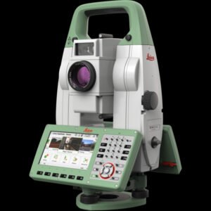
The Leica TS16 total station is a high-precision tool used in surveying, engineering, and construction to measure angles and distances with extreme accuracy. Featuring advanced automatic tracking technology, this total station allows the user to measure points and targets in real-time, increasing efficiency in the field.
With a high-definition touchscreen and intuitive software, the Leica TS16 offers an easy and enjoyable user experience. Furthermore, its ergonomic and lightweight design makes it easy to transport and use during long working days.
Additionally, it features a wide variety of functions such as horizontal and vertical angle measurement, distance measurement, remote target detection, and 3D point visualisation. These features make the TS16 an essential tool for those seeking maximum precision in their measurements.
-
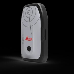
The new Leica Zeno FLX100 Plus Tilt smart GNSS antenna, now enhanced with tilt compensation capability. Combined with the Zeno Mobile One application, the FLX100 plus is designed to enhance GIS mapping tasks.
It is a portable and compact device that is ideal for field work in difficult or remote terrain.
-
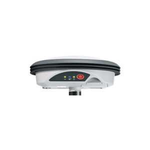
Leica Zeno GG04 plus Smart Antenna.
The smartest antenna for high precision everywhere.
-
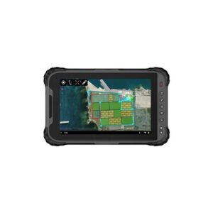
Leica Zeno Tab 2. Rugged tablet with an 8″ screen, compatible with Leica GG04.
Capture precise data with ease using a high-sensitivity 8″ touchscreen that provides superior performance even in the rain.
-
€65.00
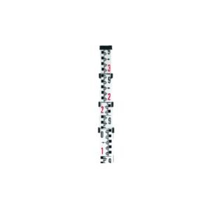
The NEDO telescopic staff belongs to the StandardLine range, renowned for its reliability and durability in surveying and construction tasks. Made of high-quality anodised aluminium, this staff offers excellent measurement precision and great resistance to the most demanding site conditions. NEDO telescopic staff. Double mm graduations.
-
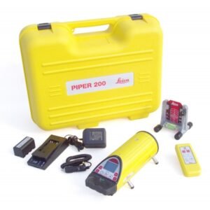
The Leica Piper 200 pack includes: Leica Piper 200 GEB221 Battery GKL311 Charger Target plate Carrying case 3-year warranty